Microsoft releases an open-source toolkit to build the «farm of the future»
By 2050 humanity will have to almost double the global food supply to make sure that every dweller of the planet has enough food. With climate change going at increasing speed, water resources drop and arable lands erode, doing that sustainably will be a huge challenge for us.
Project FarmVibes, a new suite of smart farming technologies from Microsoft Research, will crunch your agricultural data. Microsoft recently open sourced these tools so that software engineers and data scientists can use them to turn farming, dairy, and other data into actions that can help boost yields and reduce costs.
The toolkit is accessible at FarmVibes.AI. It comprises a set of algorithms aimed at providing the data science researchers to advance data-driven agriculture. Farmers worldwide can utilize this AI technology to achieve efficient decisions at every field and farm, from the best time to sow seeds into ground, to the right time to reap the harvest, to safely storing the proceeds. These algorithms run on Microsoft Azure and can suggest the exact amounts of fertilizer and herbicide the farmers should use; forecast the weather conditions, temperatures and winds, providing the ideal timing for planting crops; calculate the correct depth to plant seeds based on soil density, moisture and composition; and tell the farmers how different crops and practices can keep carbon in his soil, while making it more nutritious.
Here are just a few tools that are available now for agricultural companies, farmers and every researcher who wishes to contribute to healthy food production
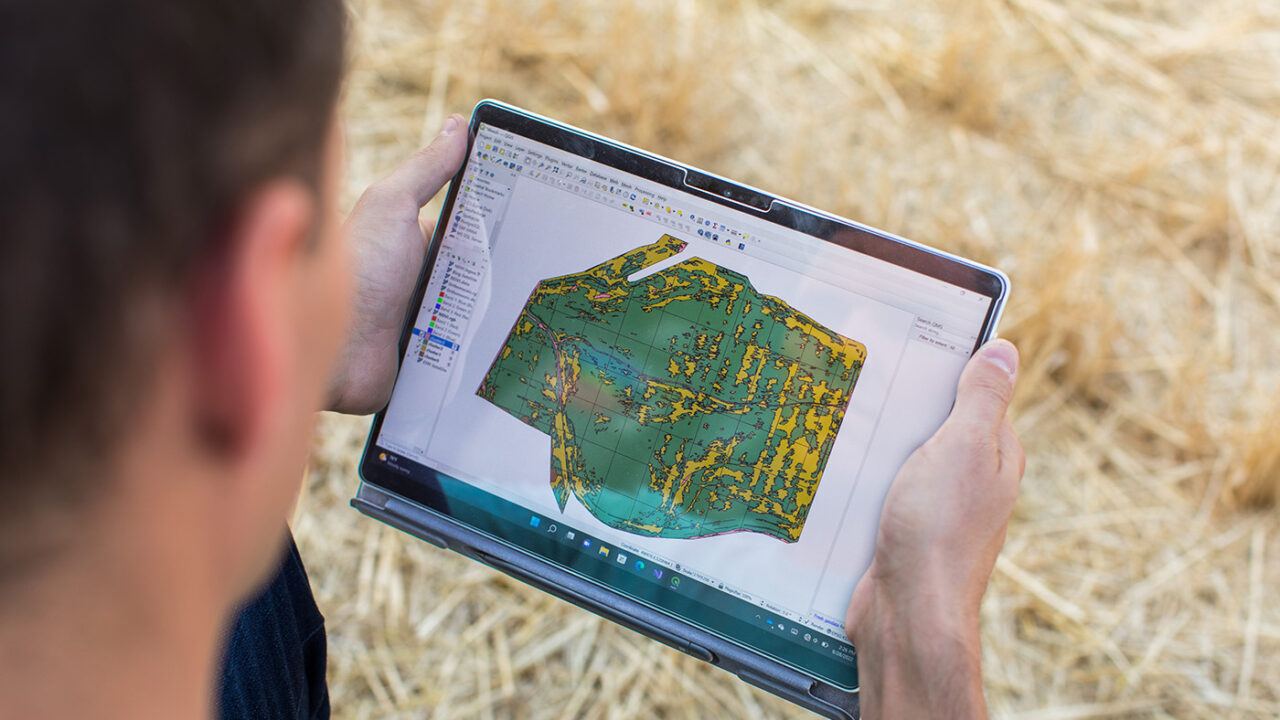
- Async Fusion combines aerial and satellite imagery with data obtained from ground-based sensors. It is possible to create nutrient distribution charts from multispectral drone imagery and data-points from sensors buried in the soil, setting the rate at which the fertilizers should be applied, increasing yield and preventing overfertilization. Another application is crafting maps of soil moisture when and where the seeds should be planted in the fields.
- SpaceEye uses ML methods to remove clouds from satellite photos, allowing for wide-scale application of the data to areas that cannot be covered by drone imagery. These images can then be fed into artificial intelligence tools to identify weeds, plant diseases, and areas in need of herbicide application.
- DeepMC utilizes weather data from sensors and short- and mid-term forecasts to predict temperature, humidity, rainfall, and wind directly on the ground. This is exactly what the farmers need: to know the exact weather conditions right where the crops grow, rather than a few meters above ground given by a typical local forecast.
- A “what if” query and analytics tool can estimate how various agricultural practices would affect the amount of carbon sequestered in the soil for different scenarios, and allow for boosting the crop yield while improving the health of the soil. Keeping to best practices could also be an additional source of income for sustainability farmers, when they sell the carbon credits received for keeping carbon dioxide locked up in soil rather than entering the atmosphere.
“Agriculture is a cause of climate change, it is most impacted by climate change, but with help from technology it can also be a solution to climate change,” say the authors of the toolkit. “That’s why we’re open sourcing – to make this available to the community so that they can bring the best in soil science to the best in computer science to unlock the opportunity to help enable sustainable agriculture.”
